
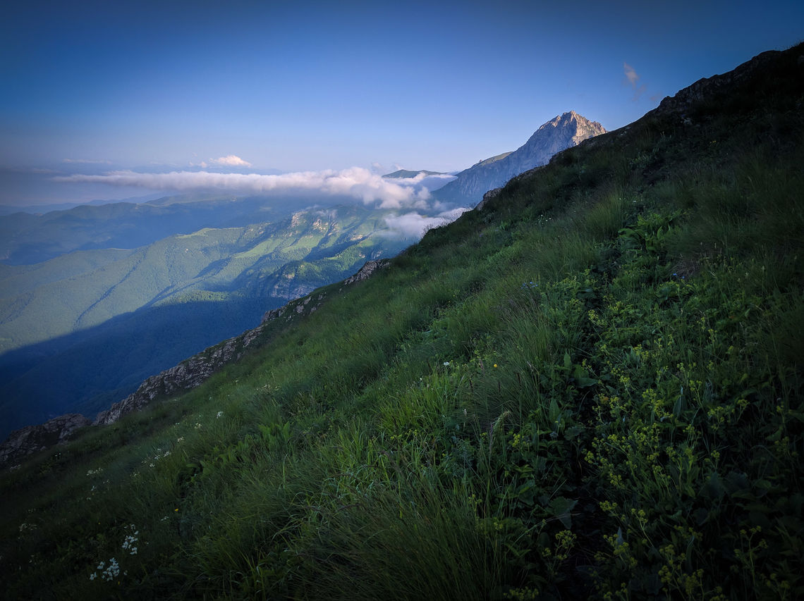
Foothills of Mt. Khustup in Syunik, Armenia (© Tom Allen, Transcaucasian Trail Association)
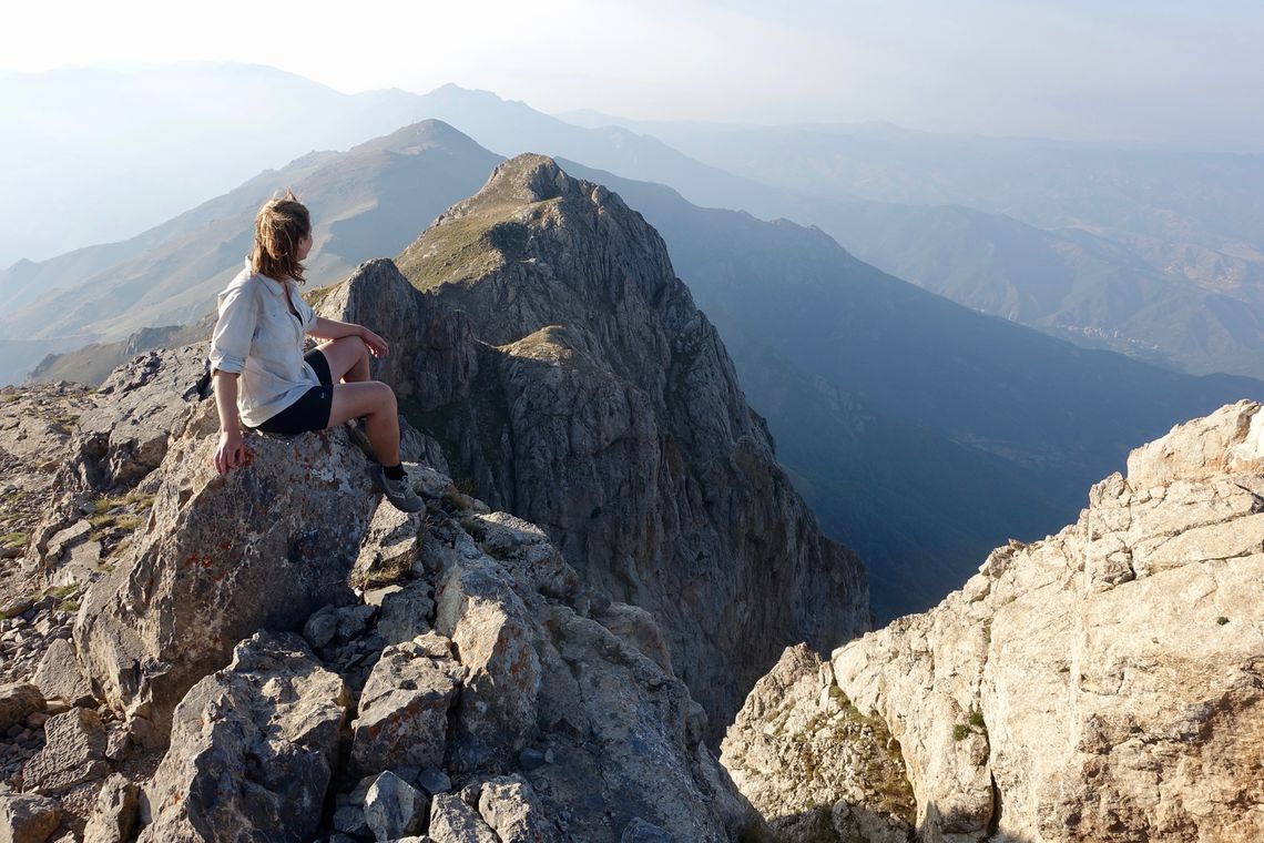
Hiker on the summit of Khustup, Syunik, Armenia (© Meagan Neal, Transcaucasian Trail Association)
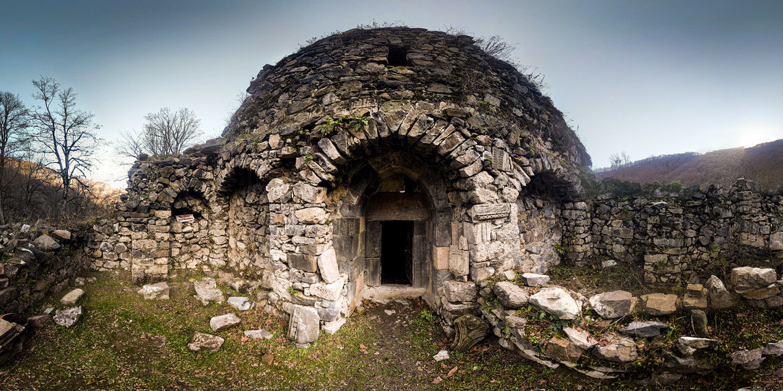
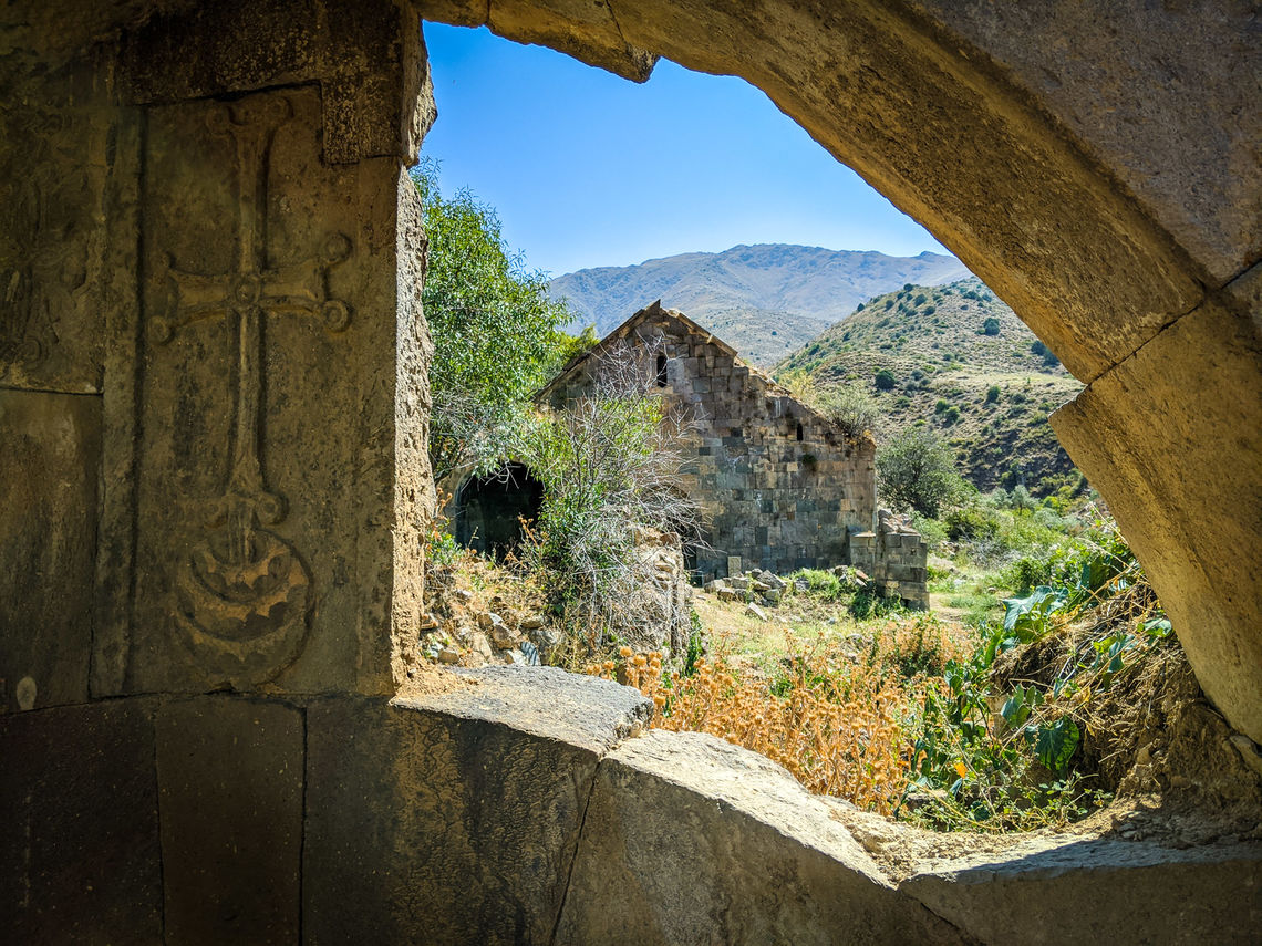
The 10th century Bekh Hermitage in the forests of Syunik, Armenia (© Tom Allen, Transcaucasian Trail Association)
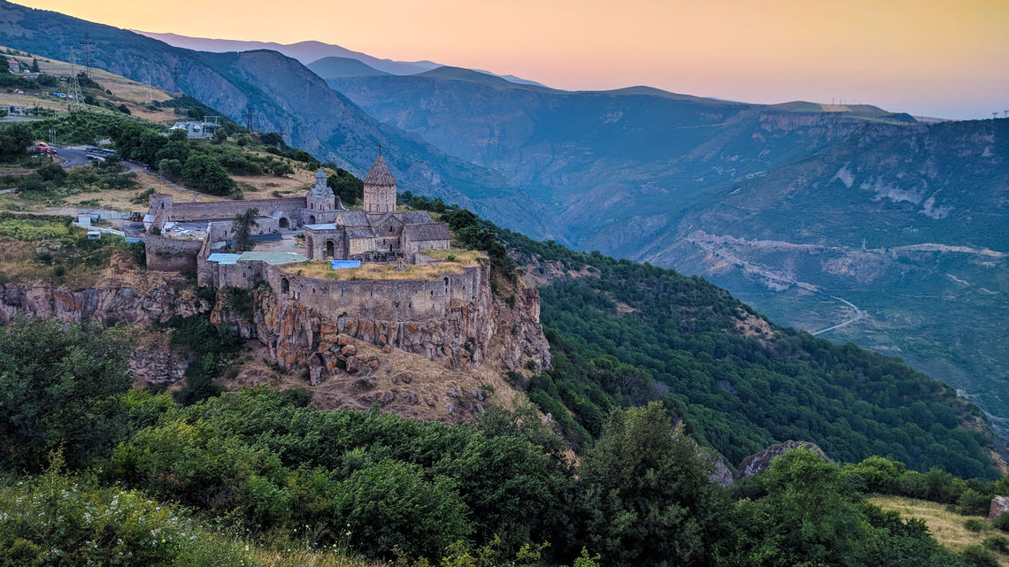
Tatev Monastery in Syunik, Armenia (© Tom Allen, Transcaucasian Trail Association)
Copyright 2016 Transcaucasian Expedition & Royal Geographical Society with IBG. All rights reserved.
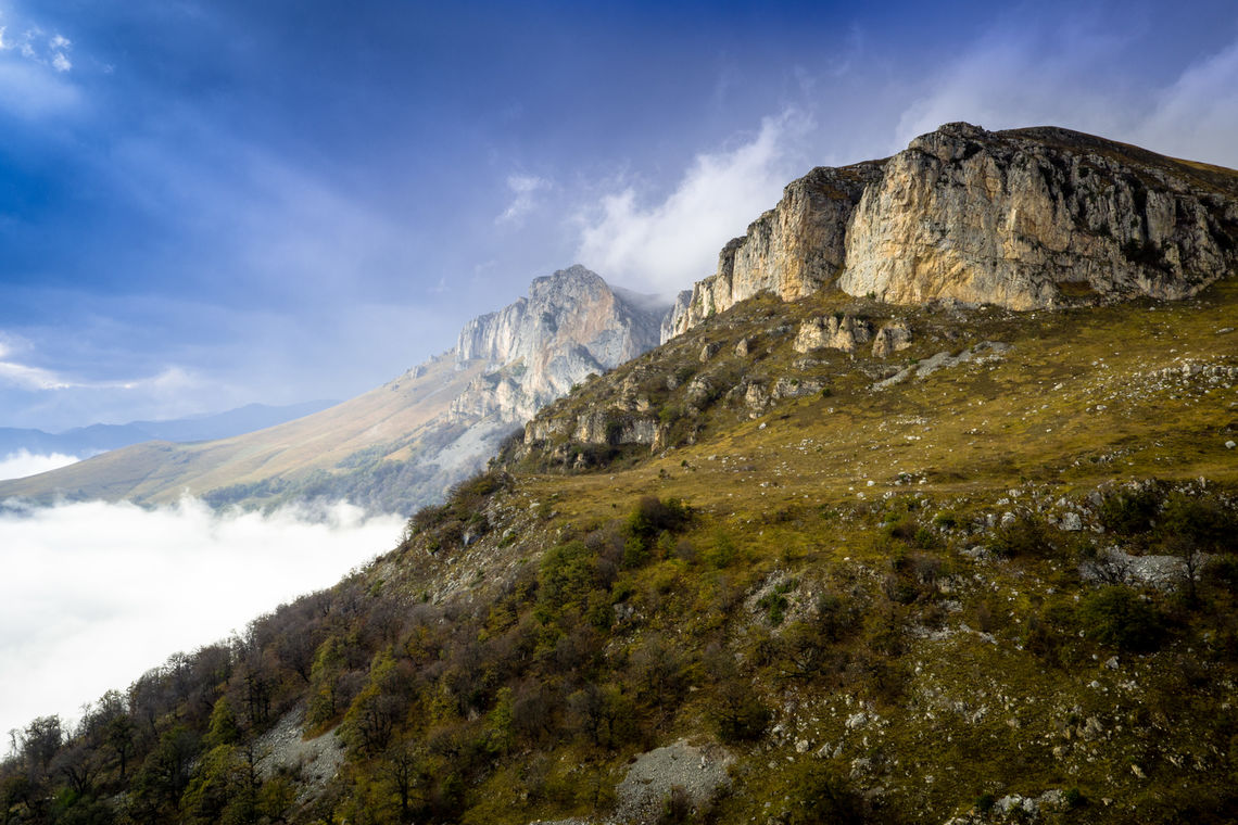
Cliffs in Dilijan National Park, Armenia (© Tom Allen, Transcaucasian Trail Association)
Copyright 2017 Transcaucasian Trail Association. All rights reserved.
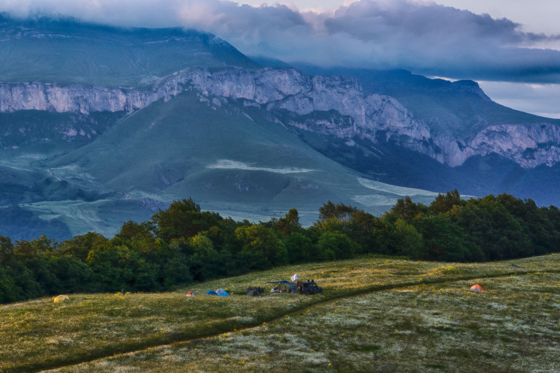
Camping in Dilijan National Park, Armenia (© Tom Allen, Transcaucasian Trail Association)
Copyright 2017 Transcaucasian Trail Association. All rights reserved.
Trail building in Dilijan National Park, Armenia (© Tom Allen, Transcaucasian Trail Association)
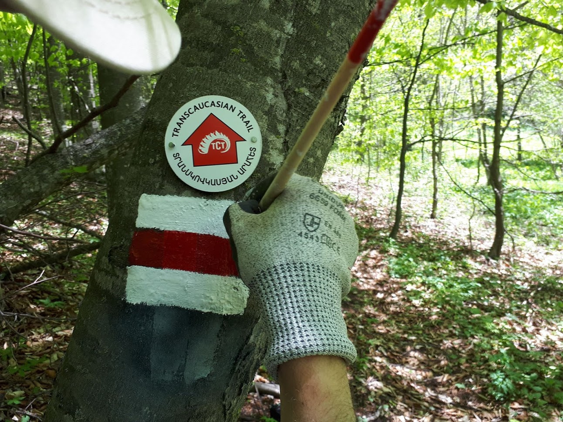
Trail marker in Dilijan National Park, Armenia (© Areg Sahakyan, Trails for Change)
Copyright 2017 Transcaucasian Trail Association. All rights reserved.
Cliffside trail in Vayots Dzor, Armenia (© Tom Allen, Transcaucasian Trail Association)
Copyright 2017 Transcaucasian Trail Association. All rights reserved.
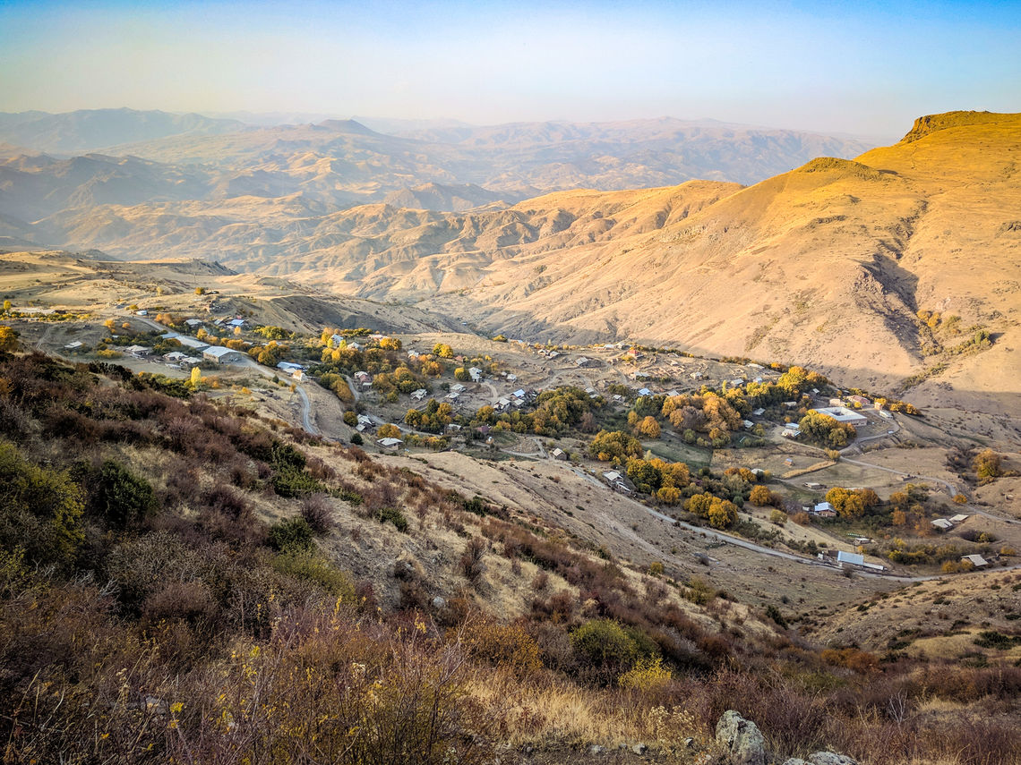
Village in Vayots Dzor, Armenia (© Tom Allen, Transcaucasian Trail Association)
Copyright 2017 Transcaucasian Trail Association. All rights reserved.
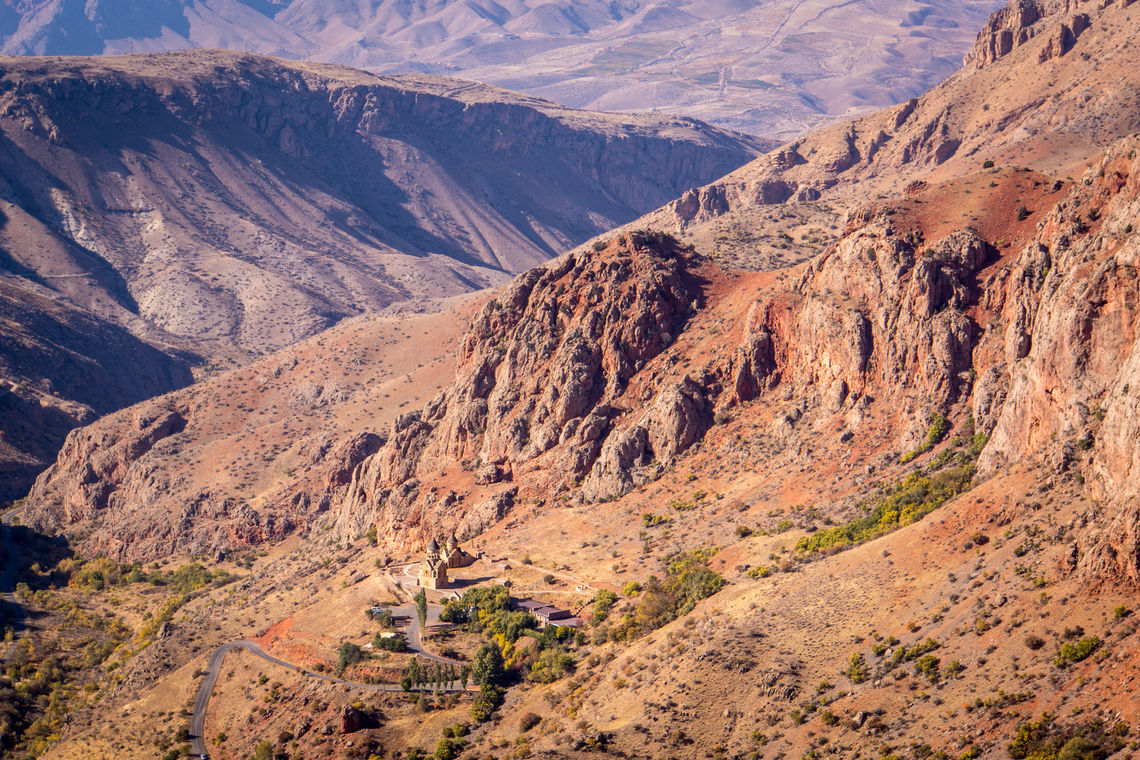
Noravank Monastery perched among the cliffs in Vayots Dzor, Armenia (© Tom Allen, Transcaucasian Trail Association)
Monastery in Vayots Dzor, Armenia (© Tom Allen, Transcaucasian Trail Association)
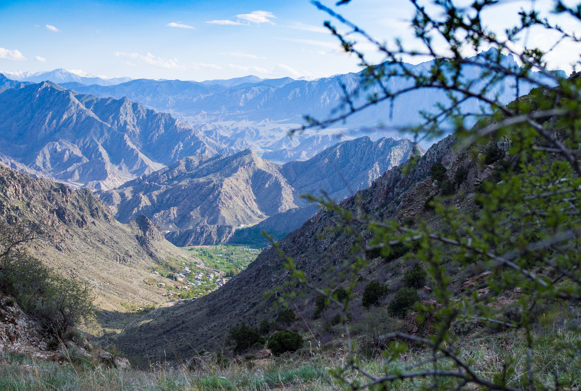
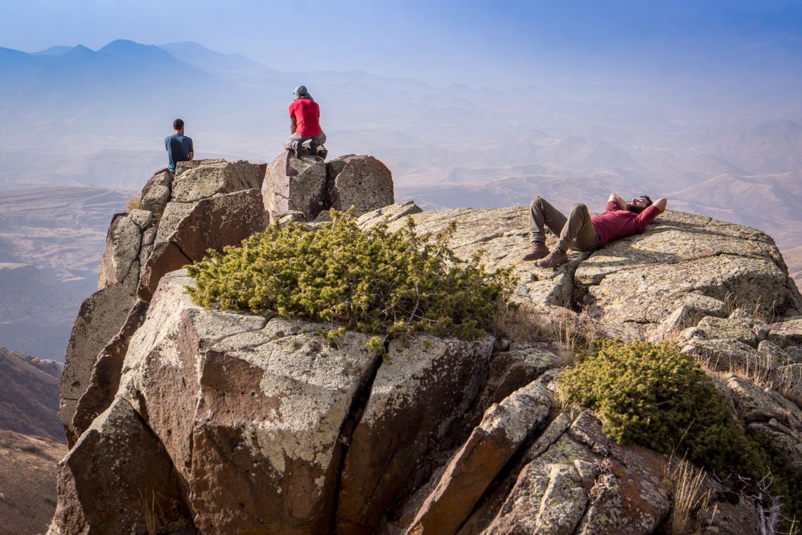
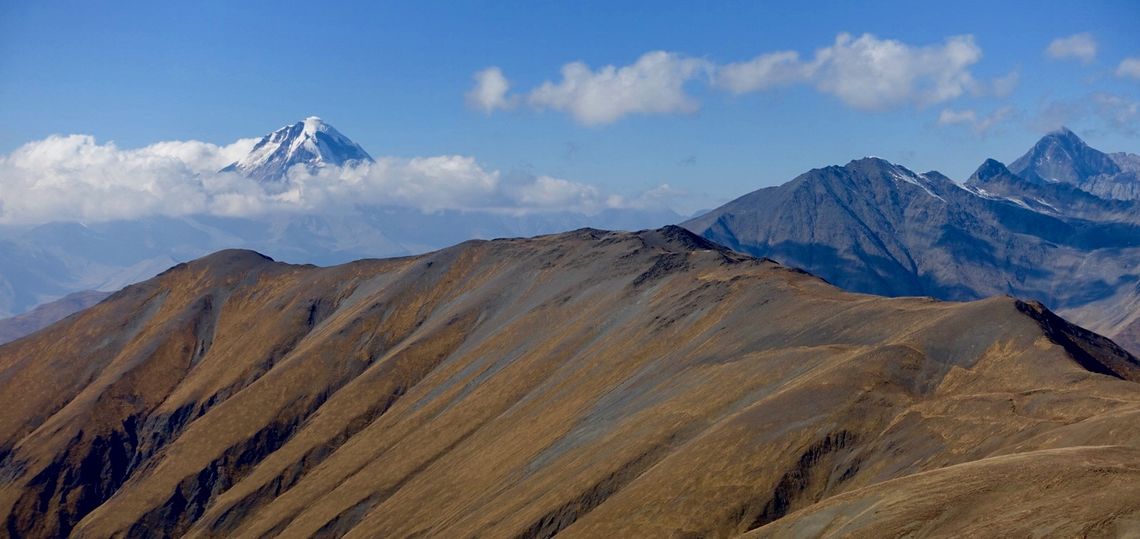
Arevik National Park, Armenia (© Tom Allen, Transcaucasian Trail Association)
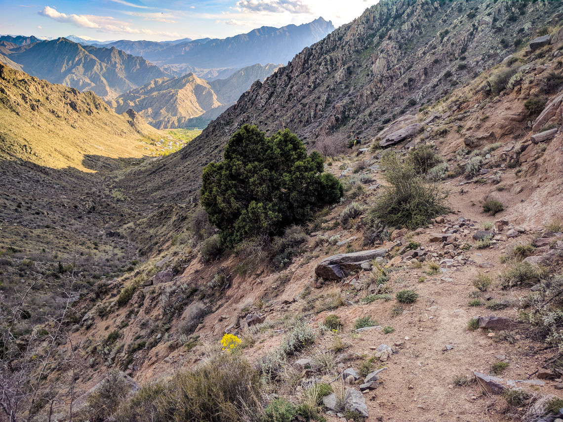
Ancient trail in Arevik National Park, Armenia (© Tom Allen, Transcaucasian Trail Association)
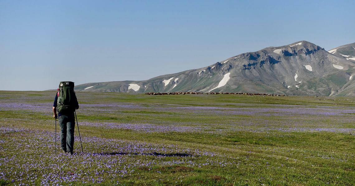
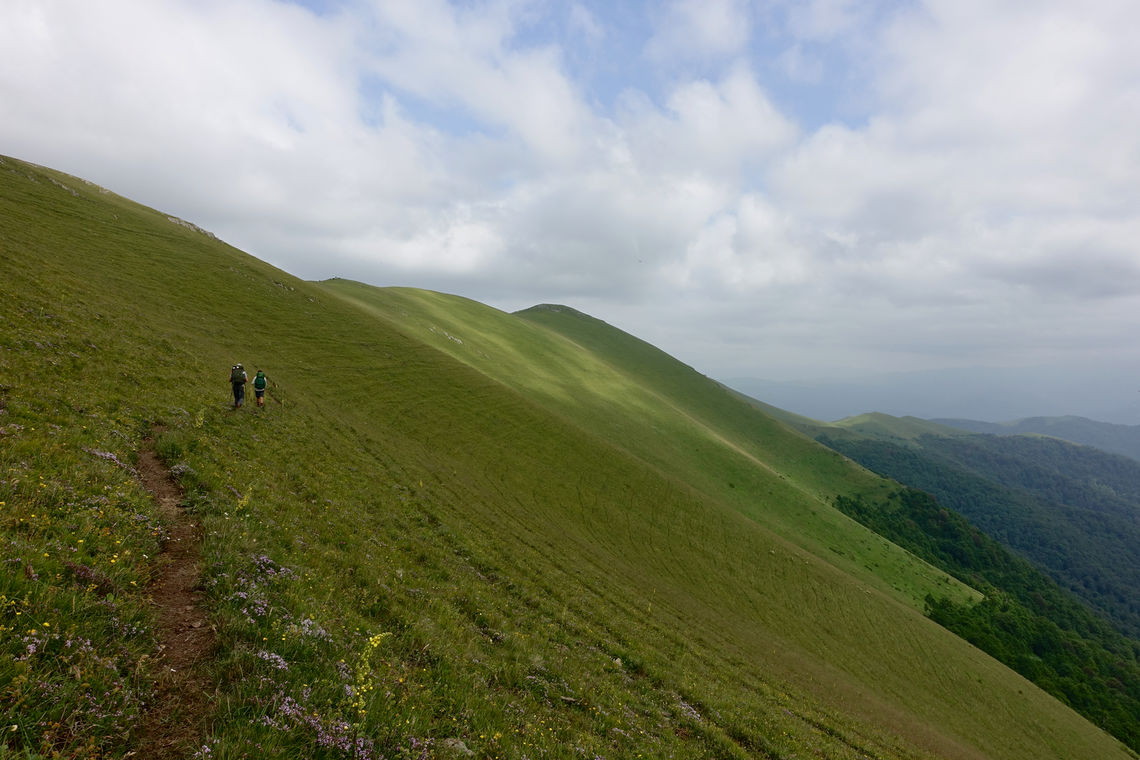
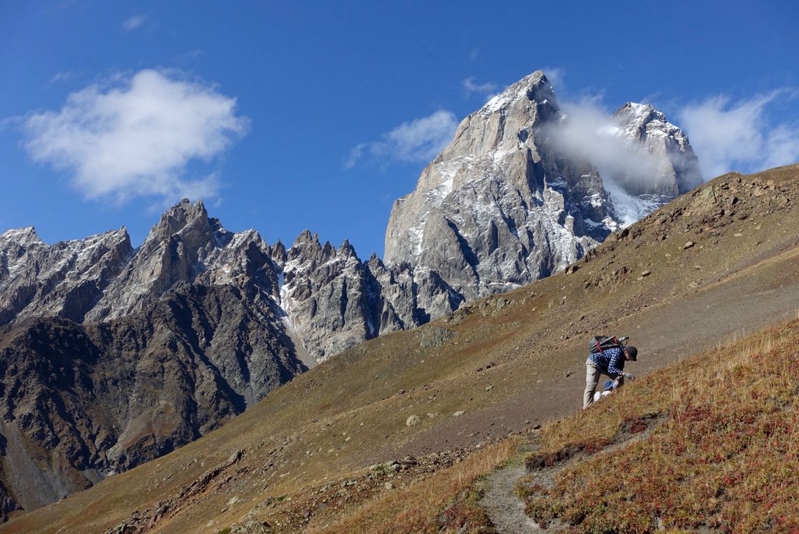
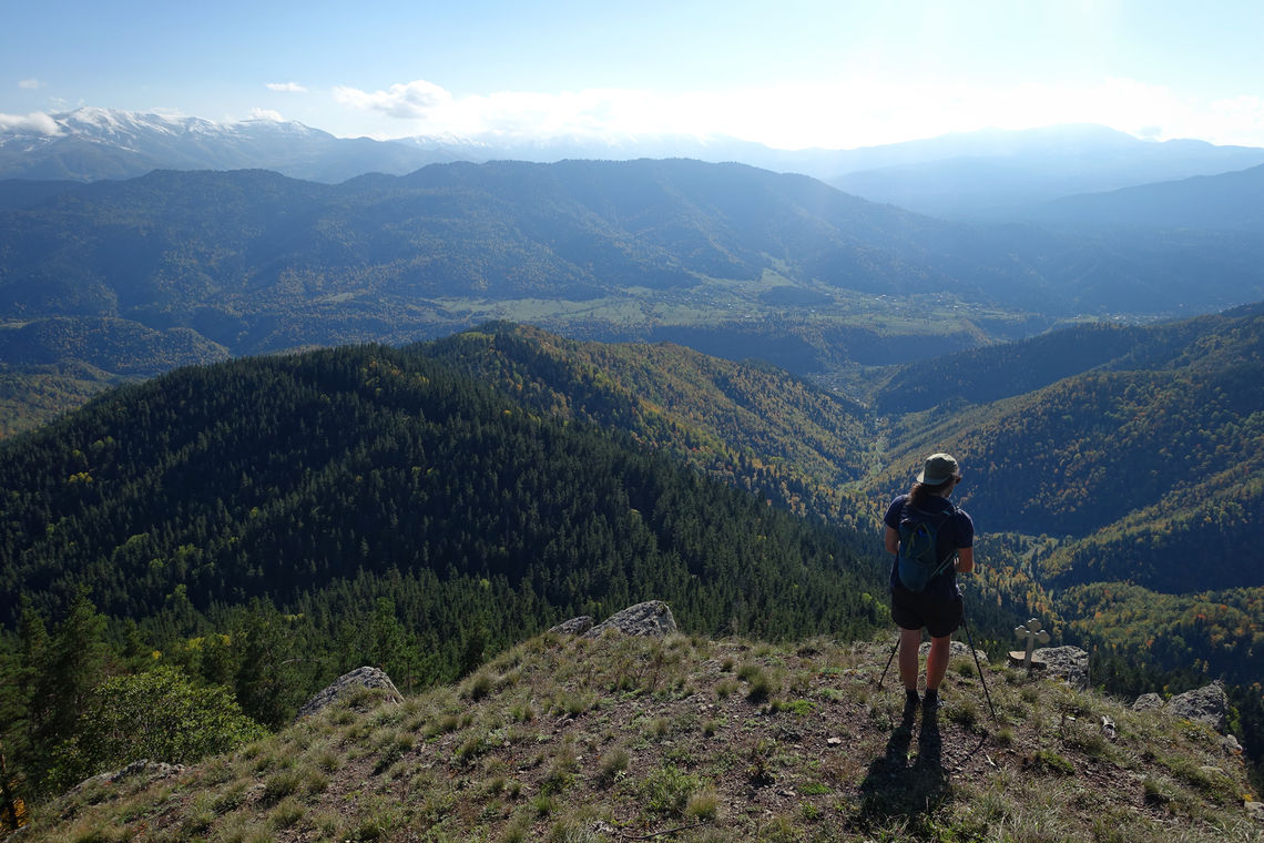
Hiker in the Gegham Mountains, Armenia (© Meagan Neal, Transcaucasian Trail Association)
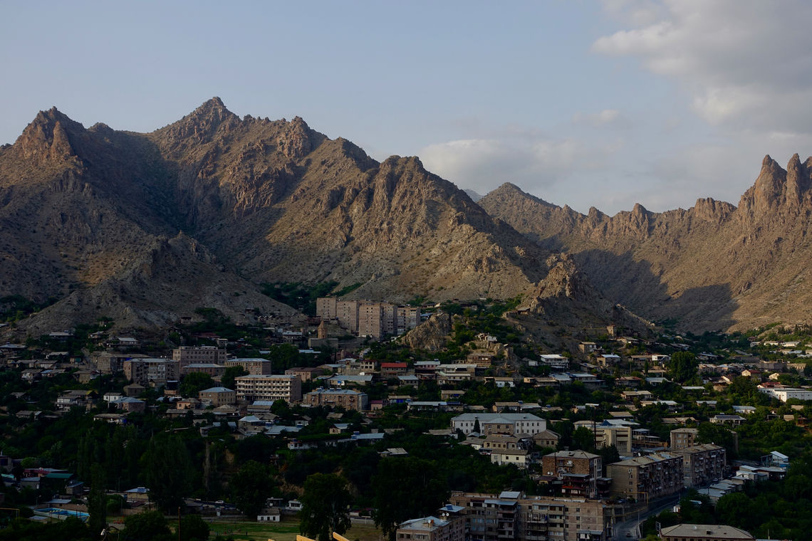
Meghri, the southern terminus of the TCT (© Meagan Neal, Transcaucasian Trail Association)
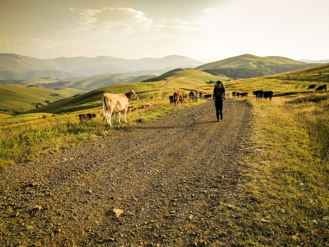
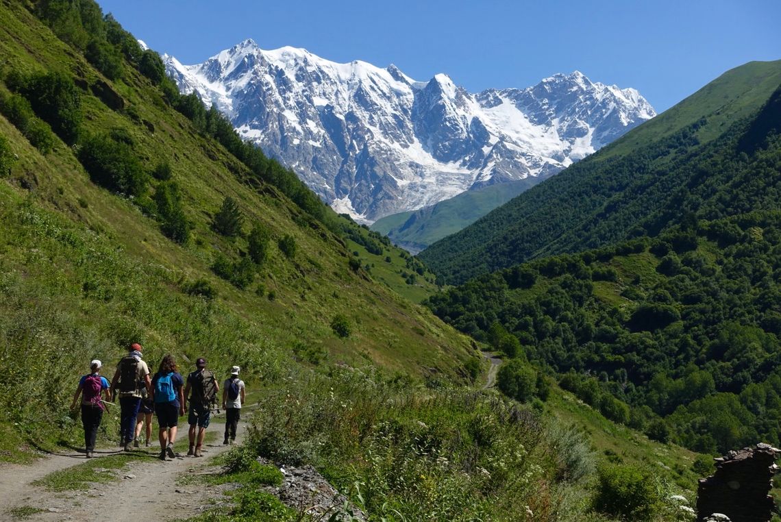
Hikers traversing a hillside cow path in Tavush, Armenia (© Meagan Neal, Transcaucasian Trail Association)
Copyright 2016 Transcaucasian Expedition & Royal Geographical Society with IBG. All rights reserved.
Greetings on the trail, Armenia (© Tom Allen, Transcaucasian Trail Association)
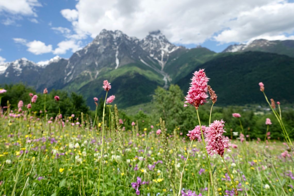
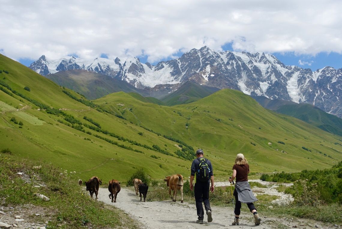
June wildflowers in Svaneti, Georgia (© Meagan Neal, Transcaucasian Trail Association)
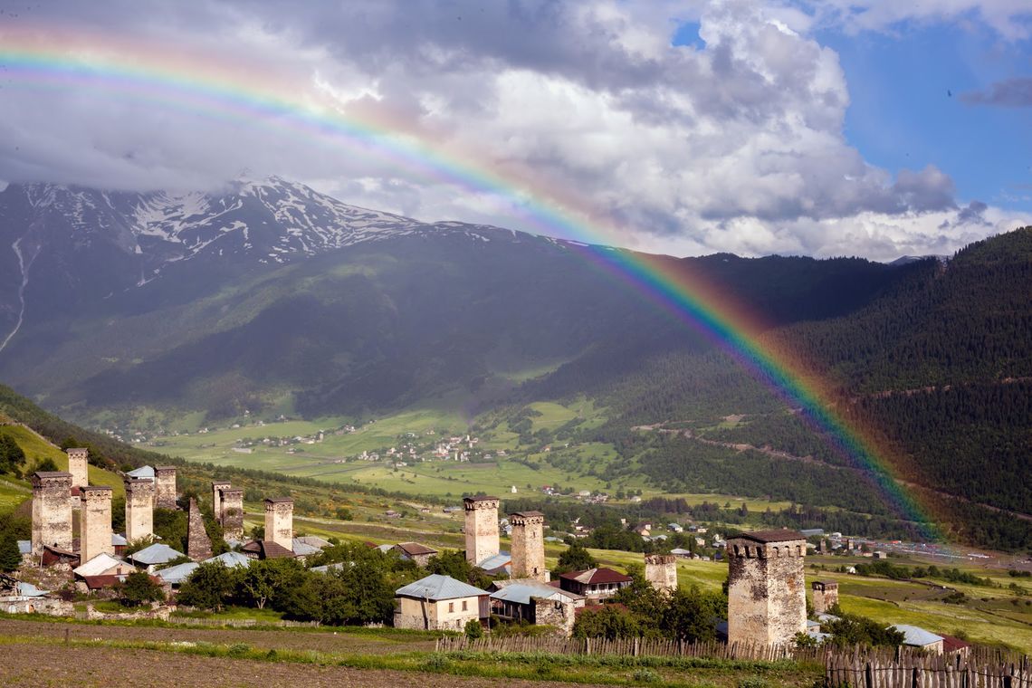
Traditional towers of Svaneti, Georgia (© Tom Allen, Transcaucasian Trail Association)
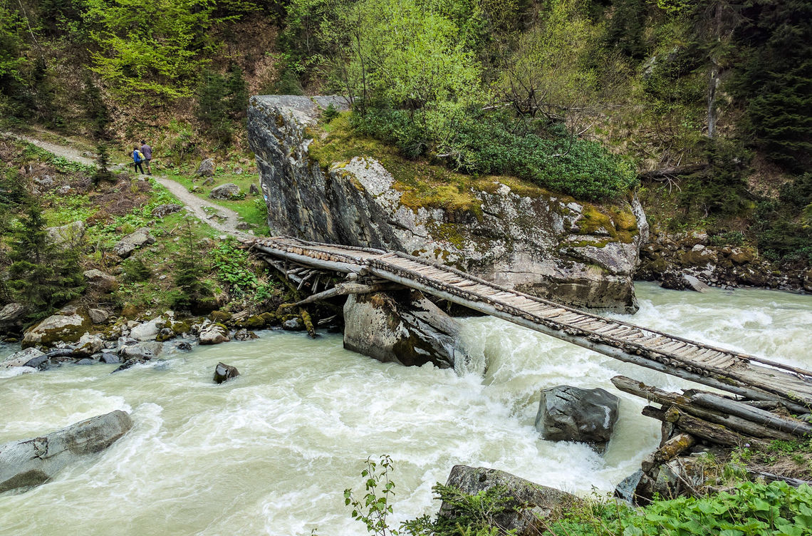
River in Svaneti, Georgia (© Tom Allen, Transcaucasian Trail Association)
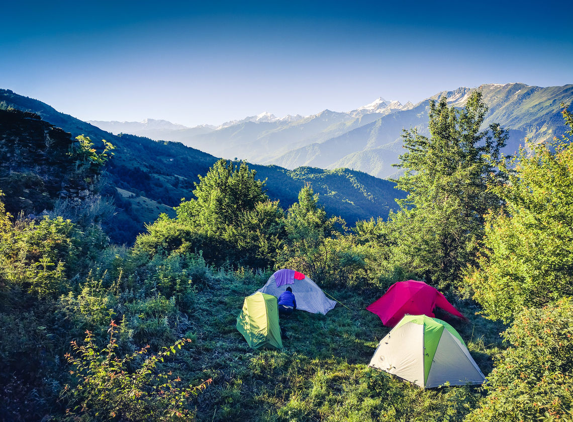
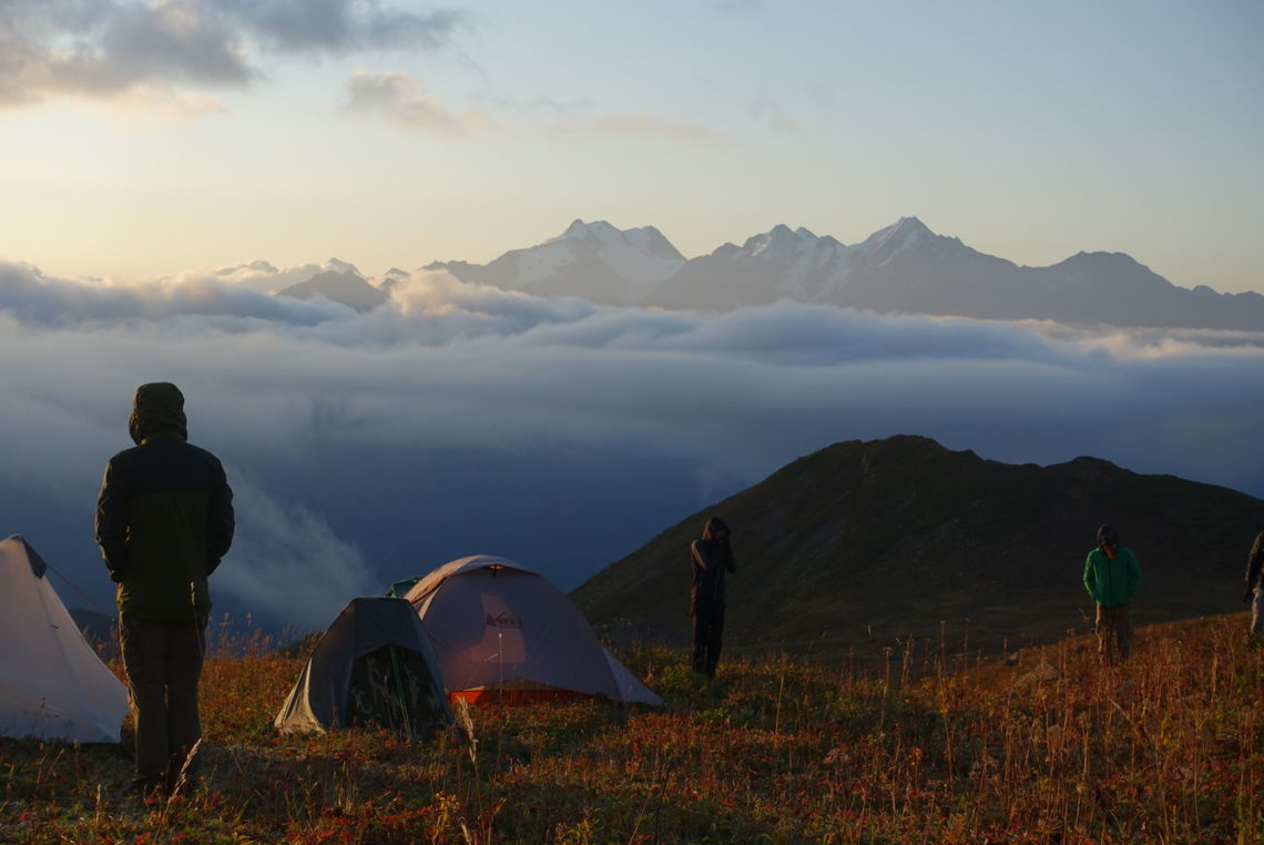
Trail crew camp in Svaneti, Georgia (© Tom Allen, Transcaucasian Trail Association)
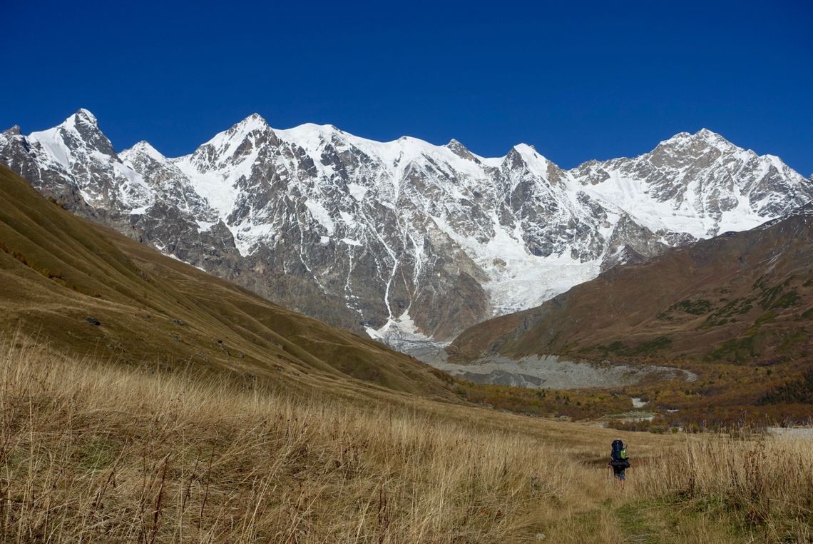
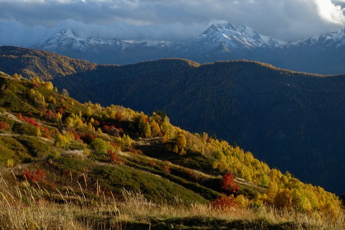
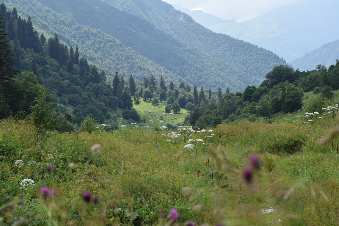
The Khalde Valley in autumn, Svaneti, Georgia (© Meagan Neal, Transcaucasian Trail Association)
A trail crew walking into the Khalde Valley, Svaneti, Georgia (© Meagan Neal, Transcaucasian Trail Association)
Volunteer blazing the trail to Guli Pass with Mt, Ushba in the background, Svaneti, Georgia (© Meagan Neal, Transcaucasian Trail Association)
Fall foliage along the Mestia, Ushguli Trail, Svaneti, Georgia (© Meagan Neal, Transcaucasian Trail Association)
Hiker traffic near Ushguli, Svaneti, Georgia (© Meagan Neal, Transcaucasian Trail Association)
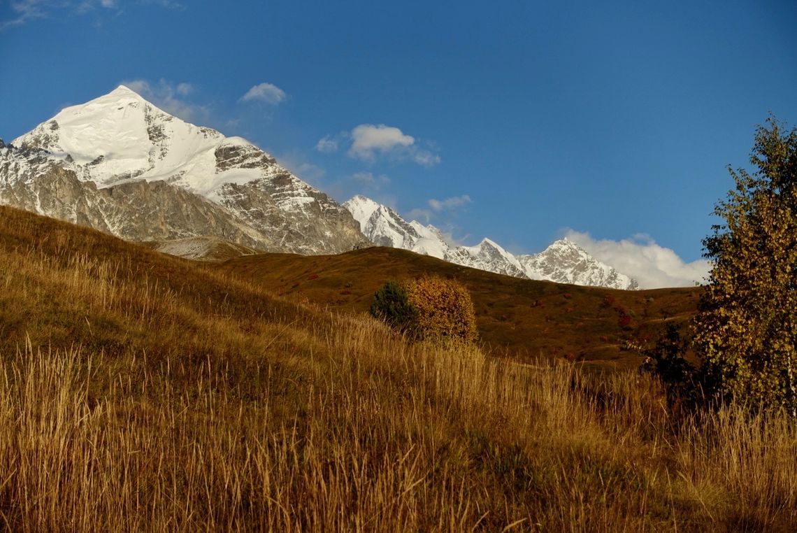
Mt. Tetnuldi in autumn, Svaneti, Georgia (© Meagan Neal, Transcaucasian Trail Association)
Early morning above Nakra, Svaneti, Georgia (© Meagan Neal, Transcaucasian Trail Association)
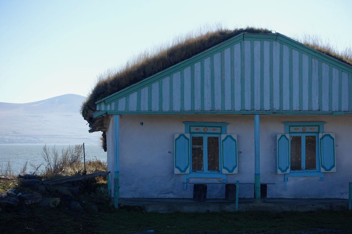
A traditionally insulated house on the shore of Lake Paravani, Javakheti, Georgia (© Meagan Neal, Transcaucasian Trail Association)
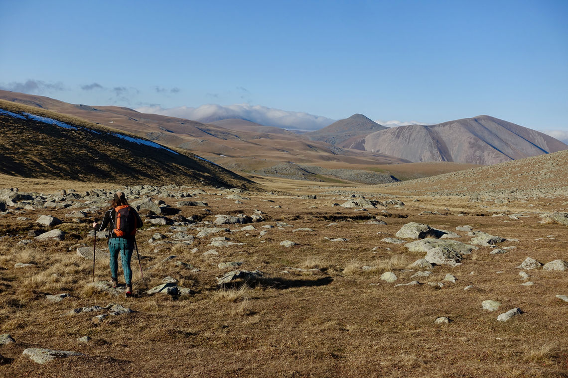
Hiker traversing open country in Javakheti, Georgia (© Meagan Neal, Transcaucasian Trail Association)
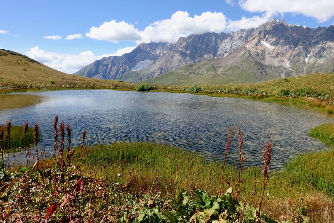
High altitude lake in Racha, Georgia (© Meagan Neal, Transcaucasian Trail Association)
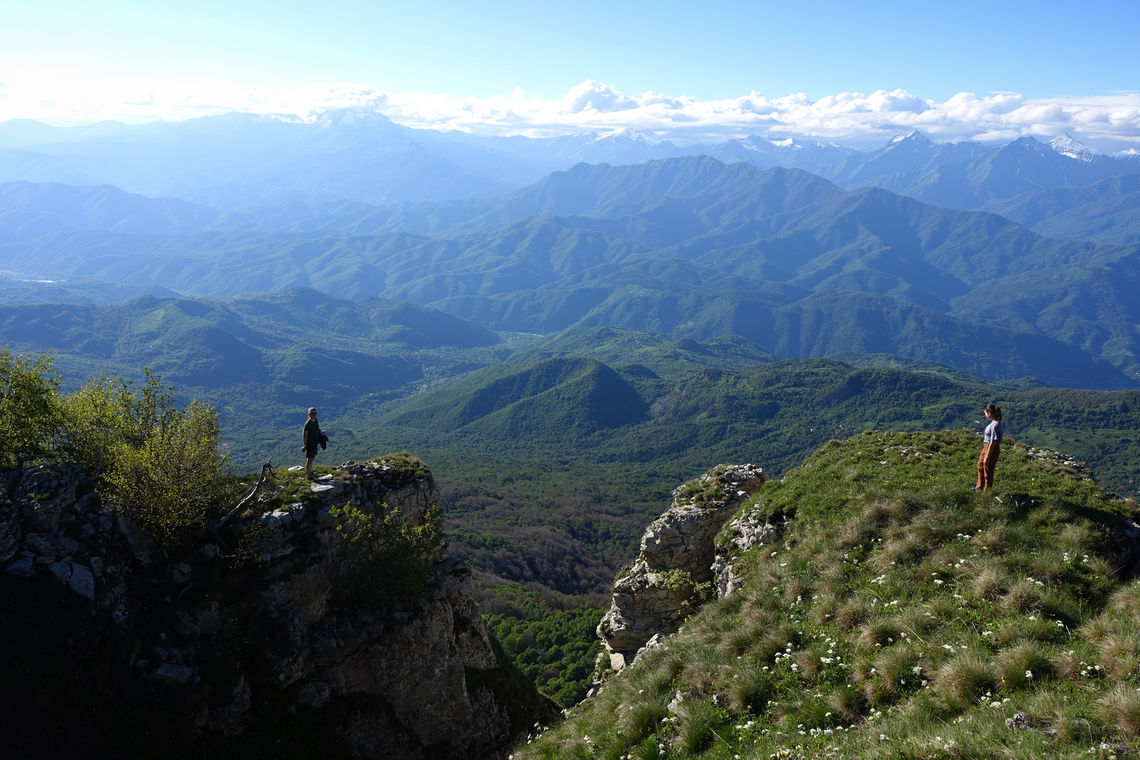
Hikers on the cliffs above Shkmeri, Racha, Georgia (© Meagan Neal, Transcaucasian Trail Association)

The village of Ghebi, Racha, Georgia (© Meagan Neal, Transcaucasian Trail Association)
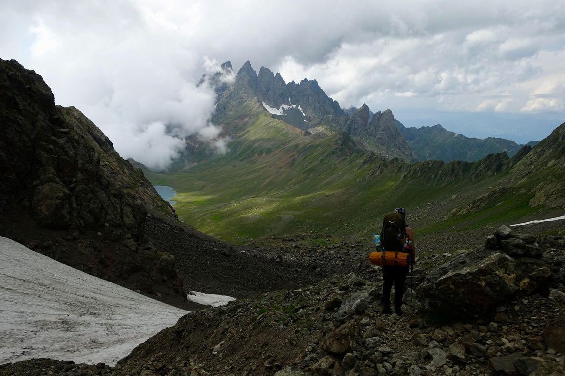
Hiker cresting the pass towards Tobvarchkhili Lake, Samegrelo, Georgia (© Meagan Neal, Transcaucasian Trail Association)
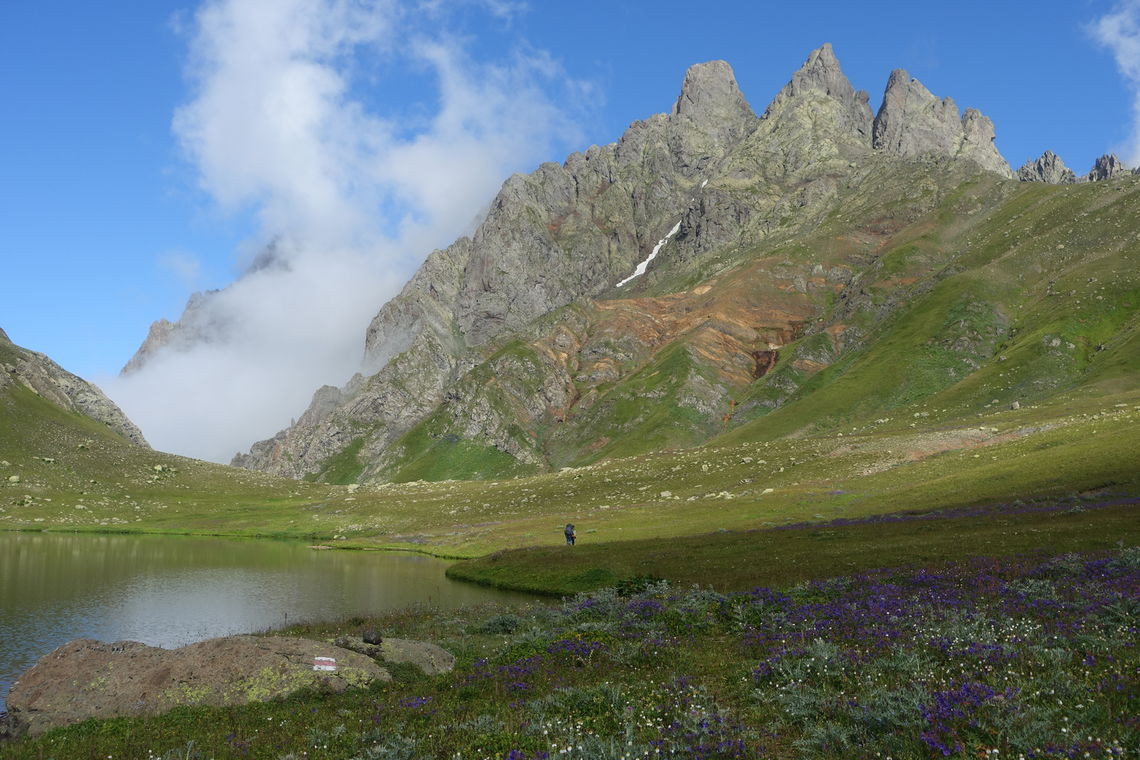
Tobavarchkhili Lake in Samegrelo, Georgia (© Meagan Neal, Transcaucasian Trail Association)
Overlooking the Nedzvi Reserve, Georgia (© Meagan Neal, Transcaucasian Trail Association)
Mt. Mkinvartsveri (Kazbeg) as seen from Chaukhi Pass, Khevsureti, Georgia (© Meagan Neal, Transcaucasian Trail Association)
Wildflowers and shepherd huts, Zeskho, Georgia (© La Lakobashvili, Transcaucasian Trail Association)
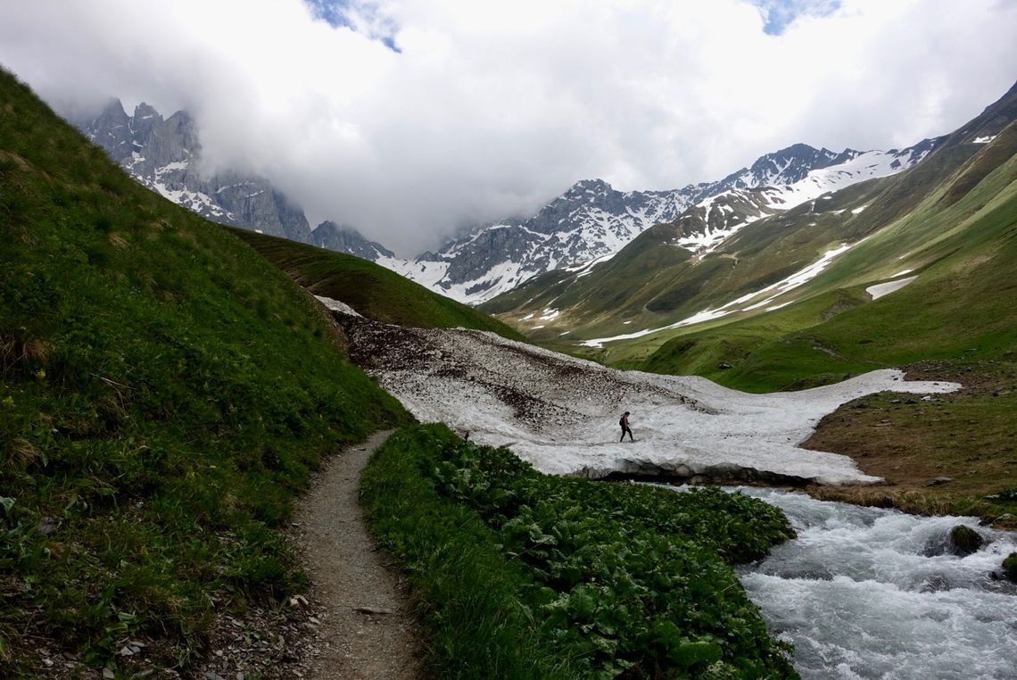
Hiker traversing an early summer snow bridge, Juta, Khevsureti, Georgia (© Meagan Neal, Transcaucasian Trail Association)
